
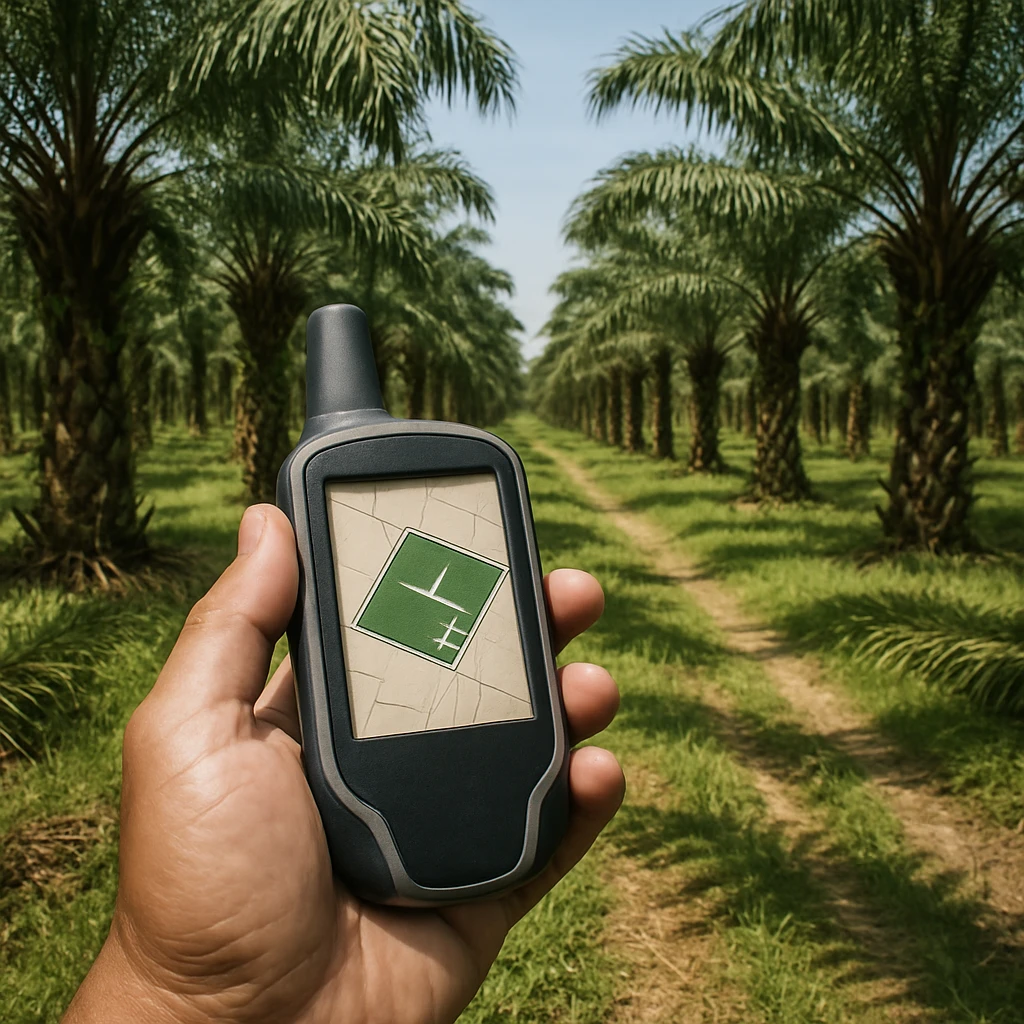
The European Union Deforestation Regulation requires businesses placing palm oil on the EU market to collect and submit geolocation data for every plot of land where the palm fruit was grown. This is not the location of the mill, refinery, or supplier head office; it is the plantation plot itself. For procurement teams, this means asking suppliers for plot-level coordinates before or at the time of purchase, and ensuring that this data can be linked to each consignment.
What geolocation data is required
Suppliers should provide coordinate data in a standard geospatial format, typically latitude and longitude. Larger plots require a polygon boundary, which is a set of connected coordinates outlining the perimeter of the plantation. Smaller plots may be identified by a single central point under the regulation's threshold rules. The key point is that the data must identify the land area with enough precision to allow verification against deforestation and legality checks.
For a first-time buyer, the practical request to a supplier is: "Please provide the geolocation file for all plots that contributed to this shipment, including polygon boundaries where applicable." Avoid accepting only a mill address or a supplier name; that will not meet the due diligence requirement.
What traceability records accompany the geodata
Geolocation alone is not enough. The due diligence statement must include contextual records that tie the product to the plot. These include:
- Supplier name and contact details
- Country of production and subnational region
- Quantity of palm oil or palm product per consignment
- Plot identifiers or farmer group references
- Harvest or production period, if available
- Any certification or legality documentation linked to the same plots
The traceability chain should allow a procurer to trace back from the purchased batch, through the mill and intermediary, to the exact plots where the fresh fruit bunches were harvested. If a shipment aggregates palm fruit from many smallholders, the supplier must have a system to collect and pass along geolocation for each contributing plot.
Practical checks for procurement managers
Before accepting a shipment, confirm that the geolocation file is complete and usable. Look for closed polygons, coordinates that fall on land rather than water, and consistent plot identifiers across the invoice, bill of lading, and geodata file. If data is missing for part of a consignment, request a corrected file before completing the purchase.
Because EUDR places the legal obligation on the EU operator or trader, procurement managers should treat geolocation and traceability data as a non-negotiable part of the supplier onboarding process. Building clear data requirements into purchase contracts and supplier questionnaires reduces the risk of shipments being rejected or delayed at the EU border.