
The European Union Deforestation Regulation (EUDR) requires that any palm oil product placed on the EU market must be deforestation-free. A central tool for proving this is geolocation data—precise coordinates of the land where the oil palm fruit was grown.
What geolocation data means in practice
Geolocation data refers to the latitude and longitude coordinates of every plot of land where fresh fruit bunches are produced. For a plantation, this means the boundary of each individual field. For smallholders, it may be a single polygon or point per farm.
This data is not optional. Under EUDR, operators must collect and submit geolocation coordinates for all plots supplying their palm oil. The coordinates must be accurate to within a few meters and must be submitted to the EU’s information system before the product can be placed on the market.
How traceability builds on geolocation
Traceability is the chain of custody that connects a finished product back to the specific plots where the fruit was grown. Geolocation data is the foundation. Without it, an operator cannot verify that the fruit came from land free of deforestation after the December 2020 cut-off date.
In practice, a mill must know which farms or estates supply each batch of fruit. A refinery must know which mills supplied the crude palm oil. Each link in the supply chain must maintain records linking the product to the geolocation data of the producing plots.
Practical steps for procurement managers
First-time buyers should request from their suppliers a clear statement of how geolocation data is collected and stored. Key questions include:
- Are all supplying plots mapped with GPS coordinates?
- Is the data stored in a central system accessible for audit?
- How are smallholders included in the mapping process?
Many large traders and mill groups already collect geolocation data for sustainability certifications. The EUDR requirement is more granular, often requiring plot-level data rather than estate-level.
Common challenges
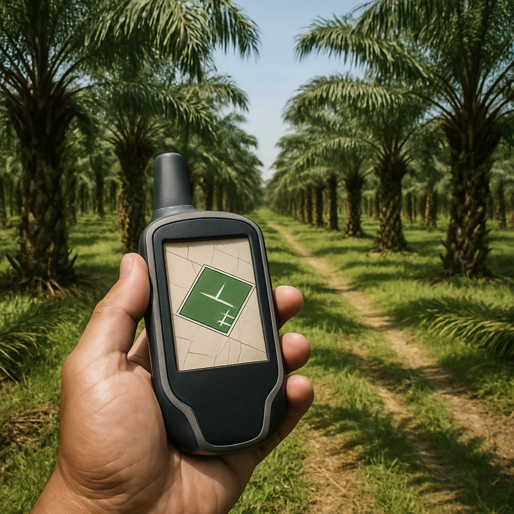
Collecting accurate coordinates across thousands of smallholders is a logistical task. Some suppliers use mobile apps or field teams with GPS devices. Others rely on satellite imagery to define plot boundaries.
Data quality is also a concern. Inaccurate coordinates or missing plots can delay compliance. Buyers should verify that their suppliers have a robust system for updating and validating geolocation data.
The bottom line
Geolocation data is not just a regulatory checkbox. It is the core evidence that a supply chain is deforestation-free. For procurement managers, understanding how this data flows from plot to port is essential for managing risk and ensuring market access.