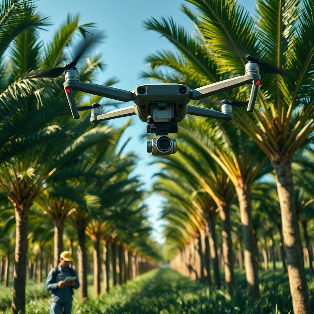
Precision agriculture in oil palm is often promoted as a leap forward in estate management. The core idea is straightforward: use satellite imagery, drone surveys and yield mapping to see variability within a plantation, then target inputs and interventions where they are needed. The technology is real, but the evidence of its impact is still maturing.
What is well established
Remote sensing has proven reliable for mapping canopy health and vigour. Satellite and drone imagery can detect differences in leaf colour, canopy density and stress indicators across large areas. This is widely used to spot nutrient deficiencies, water stress and early signs of disease or pest damage. The accuracy of these maps is generally good, especially when ground-checked.
Drone surveys have become a practical tool for counting palms and assessing stand density. High-resolution imagery can identify gaps, senescent palms and replanting needs. This is now a routine operation on many estates, replacing slow and costly manual counting.
Yield mapping is more developed in other crops, but oil palm trials have shown that harvest records, when georeferenced, can be used to build yield variability maps. These maps help managers understand which blocks are underperforming and why. The technology to do this is commercially available and has been demonstrated on working estates.
What is still contested
The biggest gap is whether precision agriculture consistently improves yield or profit. Some trials report modest gains in yield or fertiliser efficiency, but others find no significant difference compared with conventional uniform management. The response depends heavily on the scale of variability in the field, the quality of the agronomy, and the cost of the technology.
Claims that precision agriculture can reduce fertiliser use by a fixed percentage are not supported by a consistent body of evidence. Savings appear to be site-specific. In fields with high variability, targeted application can cut waste. In uniform fields, the benefit is small.
Another contested area is predictive analytics – using sensors and models to forecast yield or disease outbreaks. While promising, these tools are still being validated. Their accuracy varies with climate, soil and management practices, and they have not yet been proven across the full range of growing conditions.
Where industry claims outrun the evidence
Some vendors and proponents suggest that precision agriculture can replace ground-based agronomy. That is not supported by the research. Ground truthing – checking what the sensors see – remains essential. The technology is a complement to, not a substitute for, experienced field staff.
Similarly, claims of rapid, large-scale yield gains from drone surveys alone are overstated. Drones provide excellent data, but data alone does not improve yield. The gains come from the management decisions that follow, and those decisions still require agronomic judgement.
What it means practically
For producers, the evidence supports using remote sensing and drones for monitoring and diagnostics – spotting problems early and targeting scouting. Yield mapping is useful for block-level benchmarking and for guiding replanting or soil-sampling programmes. But the business case depends on estate size, labour costs and existing data quality. A smallholder with a few hectares is unlikely to see a return; a large estate with high input costs might.
For refiners and buyers, precision agriculture is not yet a reliable indicator of sustainable or higher-quality supply. It is a management tool, not a certification. Until the yield and profit evidence is stronger, it should be viewed as a promising innovation, not a proven standard. ---
*This article reflects the position as of 8 August 2026. Research moves on, and later work may revise or supersede what is described here. Please verify the current position, and any changes made after this date, before relying on it.*